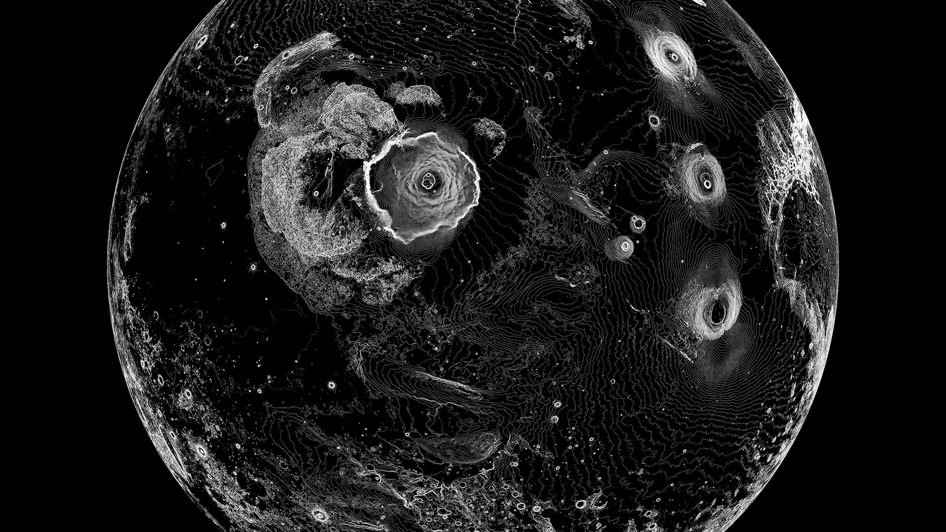
Sebastian Lague built a pen plotter from scratch to render lunar elevation data as contour maps, then extended the same pipeline to Mars and Earth.
The hardware uses an Arduino and stepper motors. The real work is in the algorithm: Lague converts raw elevation maps into vector drawings, iterating the pen-lift mechanism from a pivot arm to a linear actuator to get clean strokes. The original article walks through each design revision, which is where the useful engineering detail lives.
If you plot planets, you eventually plot all of them. Read the full piece to see how the contour algorithm handles the Moon's crater topology differently from Earth's coastline-driven geography, and check the linked multi-color delta plotter for a harder mechanical problem.
[READ ORIGINAL →]